Whitepaper SEA for MSP
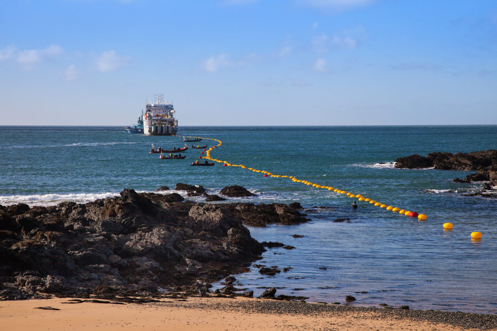
Marine Spatial Planning (MSP) is increasingly important due to the growing demands from various emerging sectors such as offshore renewable energy, aquaculture, shipping, and tourism. Marine Spatial Planning (MSP) as a public process guides where and when human activities may occur in the ocean.
The added value of environmental assessment – in particular at the strategic level (SEA) – lies mainly in the assessment of cumulative impacts, the development and comparison of broad-perspective alternatives, the focus on joint fact-finding (public ownership, shared data), and above all in providing a systematic and legal framework to include environmental and social aspects in strategic planning and decision-making. It takes a multi-sectoral approach and facilitates assessment of transboundary impacts.
Publications
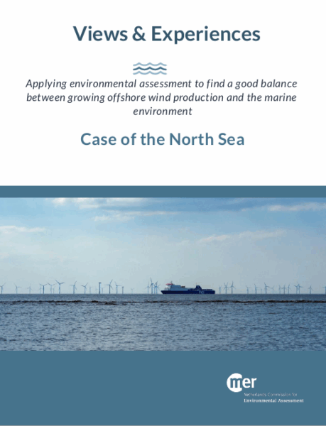
In our whitepaper, you can read more about how SEA can complement and optimize MSP and how it practically can be applied. An illustrative case about the interaction between MSP and SEA for offshore wind is the Case of the North Sea. You can find both publications below. In the near future, we hope to add more illustrative cases to this page!

The NCEA has been requested to advise on SEA as a tool in the decision-making process for coastal protection and maintenance.

The NCEA supports this partnership for the development of infrastructural interventions for water- and climate change adaptation.

The NCEA supports the West-Africa Coastal Areas (WACA) programme through its cooperation with WAEMU.

For more information, contact our focal point Arthur Neher
Senior Advisor Environmental and Social Assessment
