Alejandra Burchard Levine
Advisor Environmental and Social Assessment

A spatial development plan for Maputo Province. A new national approach to river basin planning. Mozambique is making significant steps in spatial development. But how to bring together all relevant information, expected effects, and include all relevant institutional and non-institutional stakeholders? How to choose the best option out of multiple alternatives?
The Ministry of Agriculture, Environment and Fisheries (MAAP) wants to ensure that spatial plans consider environmental and social aspects before any decision is made. Making better use of Strategic Environmental Assessment (SEA) is therefore important for the ministry.
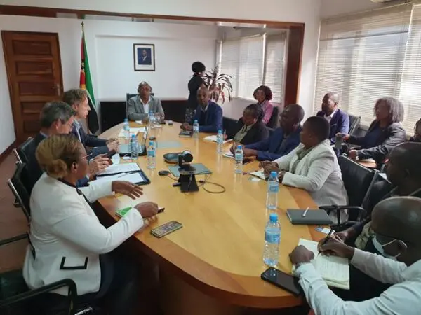
For the Maputo spatial development plan the MAAP requested the Norwegian Environment Agency and the NCEA to jointly provide SEA training to a combined team from MAAP including the Land Use Planning Directorate and the Provincial Government of the Maputo province. The SEA will be an integral part of the development of the provincial land use plan.
The second initiative is aimed at strengthening national river basin planning with the integration of SEA. This initiative is part of the Netherlands’ funded MozWater programme, implemented by IUCN. The NCEA provides support to this programme by integrating SEA into river basin planning. This also provides for the inclusion of two important institutional stakeholders in river basin planning, namely MAAP and the Ministry of Mineral Resources and Energy (MIREME). Involvement of the latter was a result of two meetings facilitated by The Netherlands’ Embassy with MIREME. These activities are concrete outcomes of the collaboration memorandum that was signed last December between the Ministry of Agriculture, Environment and Fisheries (MAAP) and the NCEA. With these plans in place, the portfolio of activities in Mozambique is growing rapidly.
Advisor Environmental and Social Assessment
Which important lessons were shared during the Beira-Recife Exchange in November?

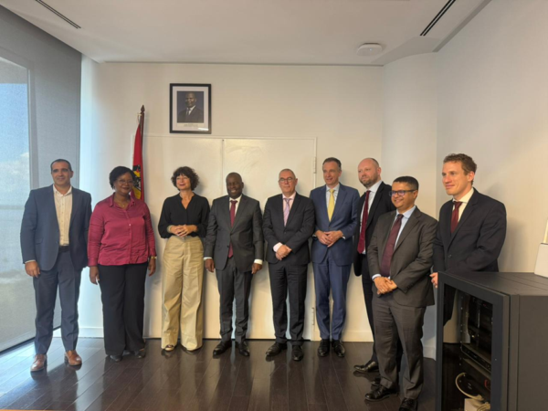
The NCEA reinforced its commitment to support the Mozambican authorities in strengthening environmental governance.

Mozambique is keen to take Strategic Environmental Assessment (SEA) to the next level and has requested the support of the NCEA.