
Dennis van Peppen
Director international

“IAIA26 reinforced that impact assessment is not just a technical process for producing accurate information. It is a governance and trust-building process for helping societies make better decisions under conditions of complexity, uncertainty, and competing claims.”
This was the main legacy of the 2026 conference of the International Association of Impact Assessment (IAIA), according to IAIA CEO, Mr. Gary Baker. The conference was held in Quebec City, Canada in May. The NCEA participated in the conference and contributed with presentations about the challenges for the SEA system in the Netherlands, and about cultural heritage and impact assessment.
IAIA 2026 made clear that impact assessment is on the move: from compliance to governance, from consultation to collaboration, from prediction to trust-building and adaptive management. Strategic planning and assessment through collaboration and trust-building is the only way to get out of the maze of interdependent spatial challenges. That’s the reason why the NCEA in the Netherlands has set up a series of roundtables with Dutch planning and environmental assessment stakeholders to discuss how to better integrate environmental assessment earlier in planning and design processes.
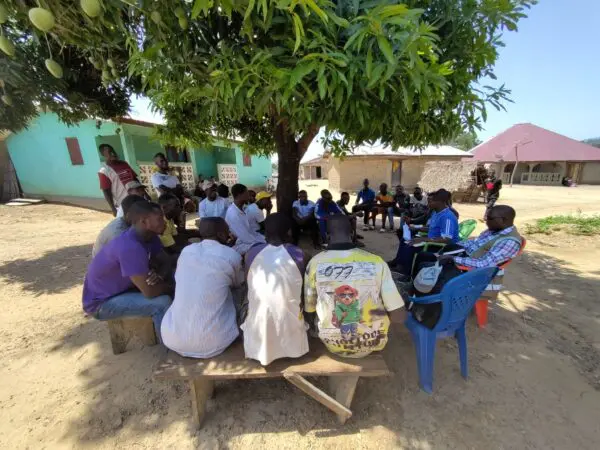
This resonates with what the NCEA is observing in a growing number of partner countries such as Guinea and Burundi. In these countries, Strategic Environmental Assessment and/or its principles are being used in the early stage of strategic planning processes to support and initiate collaborative governance around complicated and sensitive topics like national land use planning, water resources management, or mining. These countries ask for the NCEA’s assistance to help them realise the full potential of SEA, which is far beyond being an end-of-pipe technical instrument for environmental challenges.
Through Strategic Environmental Assessment stakeholders are informed and engaged, scenarios and alternatives are developed and compared, a scientific foundation within a dynamic, contextual approach is provided. That is why SEA can and should be used at the front end of design and planning. Here it can function as a platform for joint fact finding in spatial development processes, helping to determine a point of departure for further negotiations, supported by the whole of government.
Picture: ©NCEA, 2026
Director international